Air pollution,
from above.
APAD is a research initiative pairing satellite imagery with citizen science to detect the assets responsible for air pollution — and publish the data the world needs to act on them.
Empowering communities with science.
We turn satellite imagery and citizen science into decision-grade data on the assets most responsible for air pollution.
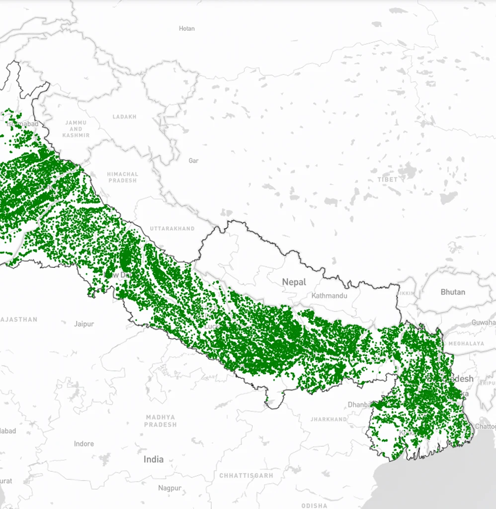
Detection of brick kilns using deep learning
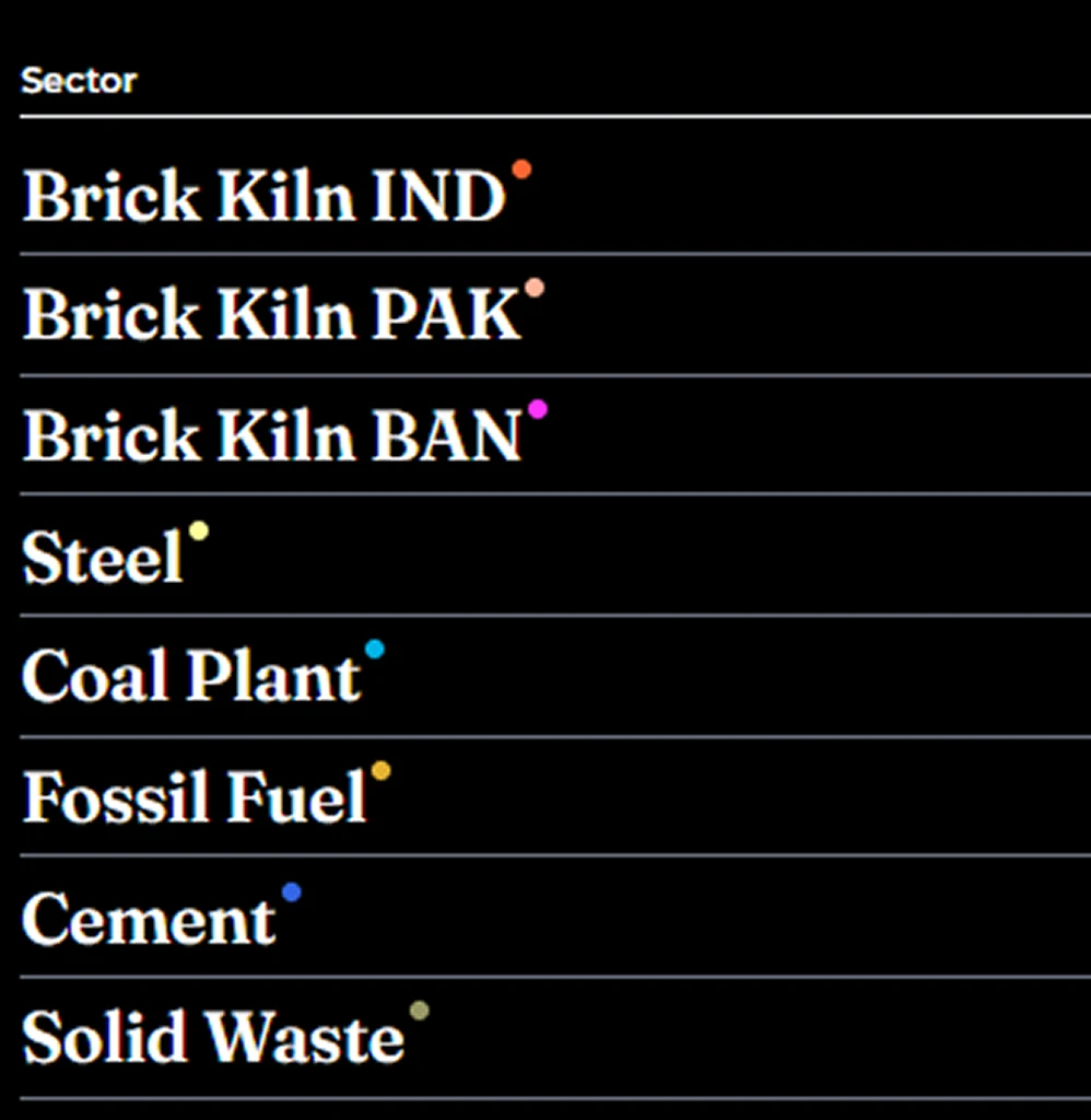
Open-source datasets across South Asia and Africa

Citizen-science air pollution reporting via the APAD app
Our impact
Open data and tools serving policymakers, researchers and frontline communities.
Latest updates
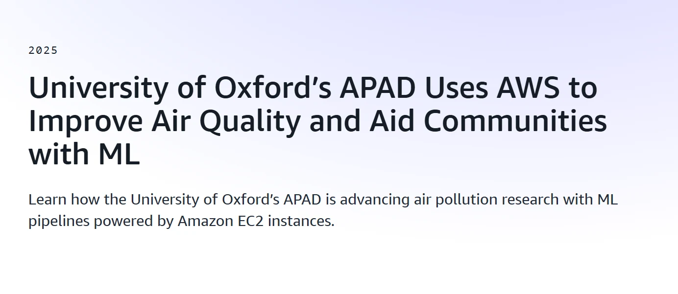
APAD featured as a case study by AWS
Amazon Web Services highlights APAD's approach to detecting air-pollution sources using cloud technology.
Read more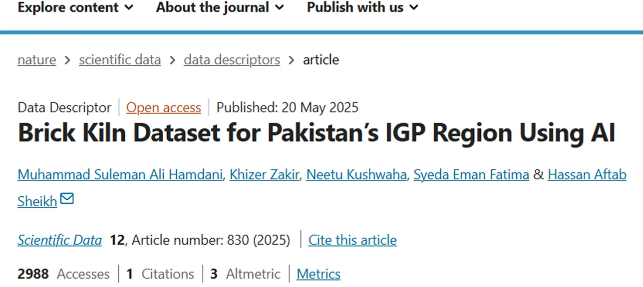
New research paper published
Our latest research on asset-level detection of air-pollution sources is now published in Scientific Data.
Read more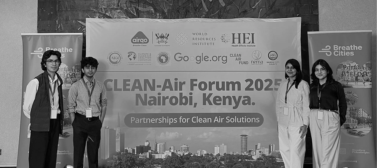
CLEAN-Air Forum 2024
Team APAD attended the CLEAN-Air Forum for clean-air solutions in Nairobi.
Read moreEvents & workshops.
2nd EV Expo in Lahore
Team APAD attended the 2nd EV Expo in Lahore, arranged by Climate Action Centre Karachi. The expo showcased the latest in electric-vehicle technology and sustainable transport.


APAD workshop at NUST
A workshop at the National University of Sciences & Technology, sharing insights on air-pollution detection and citizen-science methodologies.


Application workshop in Karachi
APAD Application Workshop with Ali Jiwani Ismaili Scouts and Girls Guide — training community members to use the APAD mobile application for air-pollution reporting.


In good company


Send us a message.
Working on something at the intersection of climate, satellite data, and policy? We'd love to hear from you.